The unique shape of Oklahoma, particularly its panhandle, has long drawn curiosity from geography enthusiasts and the general public alike. To fully grasp the reasoning behind this peculiar formation, it is essential to delve into the historical events that led to its establishment. The panhandle serves as a prime example of how political decisions and societal disputes can manifest themselves in the topography of a region.
One of the major factors that contributed to Oklahoma’s shape was the Missouri Compromise of 1820. This legislation sought to establish a balance between slave and free states while defining each state’s geographical boundaries. The compromise drew an arbitrary line across the middle of the country, separating these territories. This line, combined with other historical events and political maneuvers, ultimately gave Oklahoma its distinctive panhandle.

Understanding the origins of Oklahoma’s shape reveals the complex interplay of national political decisions, regional rivalries, and the influence of historical events in shaping the geography of the United States. The formation of the Oklahoma Panhandle serves as a testament to the lasting impact of these forces, demonstrating how the physical landscape can reflect the ideological values and power struggles of a nation’s past.
Historical Background
Louisiana Purchase and the Red Road
The shape of Oklahoma can be traced back to a series of historical events and treaties, starting with the Louisiana Purchase in 1803. The United States, under President Thomas Jefferson, acquired a large portion of present-day Oklahoma east of its panhandle. This acquisition facilitated further exploration and settlement by European and French explorers like Francisco Vásquez de Coronado. Meanwhile, the Red Road served as an essential trade route for the Wichita and Osage tribes who were already residing in the area.
Missouri Compromise and the Indian Territory
In 1820, the Missouri Compromise established an arbitrary line across the middle of the country, separating territories that allowed slavery from those that did not. This political division played a role in shaping Oklahoma.
The Indian Territory was created as a government-sanctioned area for the relocation of Native American tribes, including the Cherokee, Choctaw, and Seminole. This relocation was enforced through the Indian Removal Act and subsequent treaties. The infamous Trail of Tears saw many tribes forcibly removed from their homelands and settled into the Indian Territory.
As settlers pushed westward in pursuit of Manifest Destiny, Congress established a series of borders. The Kansas-Nebraska Act in 1854 defined the northern border of the Oklahoma panhandle at the 37th parallel, with Kansas and Nebraska deciding their stance on slavery. During the Civil War, Indian Territory allied with the Confederacy, although many Native Americans remained loyal to the Union. The creation of the Public Land Strip, later known as the Oklahoma Panhandle, was the result of disputed jurisdiction between Texas, New Mexico, and Colorado.
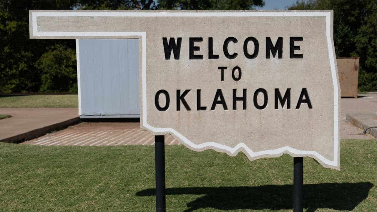
The Oklahoma Territory and Indian Territory merged at the dawn of statehood on November 16, 1907. Oklahoma became the 46th U.S. state while adopting the nickname the “Sooner State” due to the Land Rush of 1889, in which settlers known as “Sooners” claimed land before the official start.
In conclusion, the complex history of treaties, territorial disputes, and the impact of policies like the Missouri Compromise have all contributed to the unique shape of present-day Oklahoma. The state’s diverse cultural heritage, exemplified by its Native American, European, and settler roots, is intertwined with the geographical evolution that led to its distinct borders.
Geographical Factors
Latitude and Longitude
Oklahoma is located in the south-central region of the United States, with a latitude of around 35°N and longitude of approximately 97°W. The state’s geographic location significantly contributes to the distinct shape it exhibits on the map. Oklahoma’s elongated, rectangular shape is characterized by the unique Oklahoma Panhandle along its northern border.
Oklahoma Panhandle
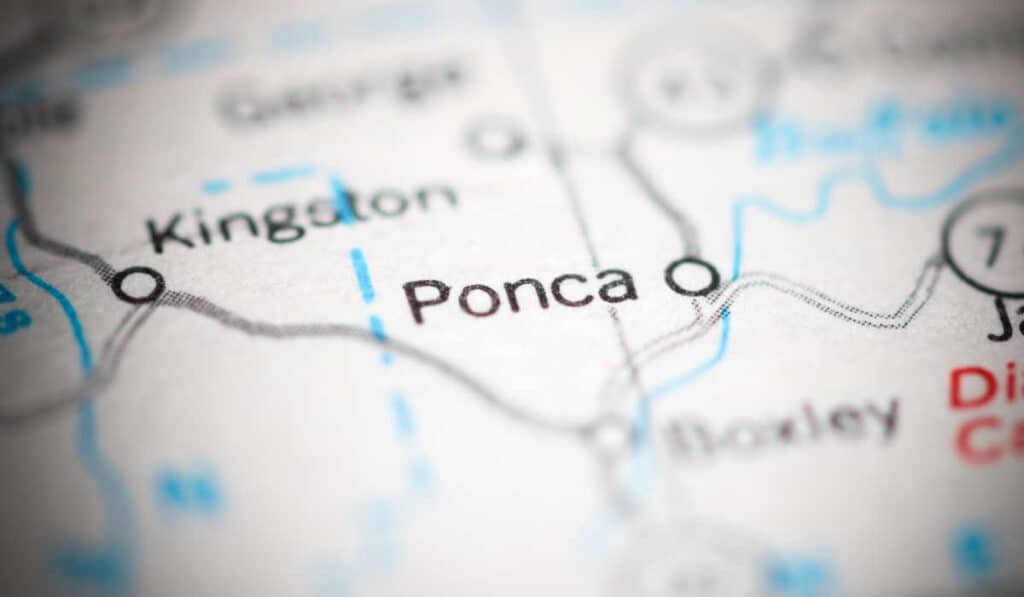
The Oklahoma Panhandle is a 166-mile long and 34-mile wide strip of land that extends westward from the rest of the state. It comprises three counties: Cimarron County, Texas County, and Beaver County. The region known as the Panhandle has a unique history that led to its distinct shape, and it has greatly influenced the overall shape of Oklahoma.
The Panhandle’s history can be traced back to the Missouri Compromise of 1820, which established a boundary line to determine the legality of slavery in newly-acquired territories. According to the Compromise, slavery was deemed immoral north of the 36°30′ parallel. This line of latitude runs across what is now known as the Oklahoma Panhandle.
As a result of this boundary, the area became known as “No Man’s Land” because it was not claimed or governed by any state or territory for a considerable period of time. When Oklahoma Territory and Indian Territory combined to create the state of Oklahoma in 1907, the Panhandle was officially incorporated into the state.
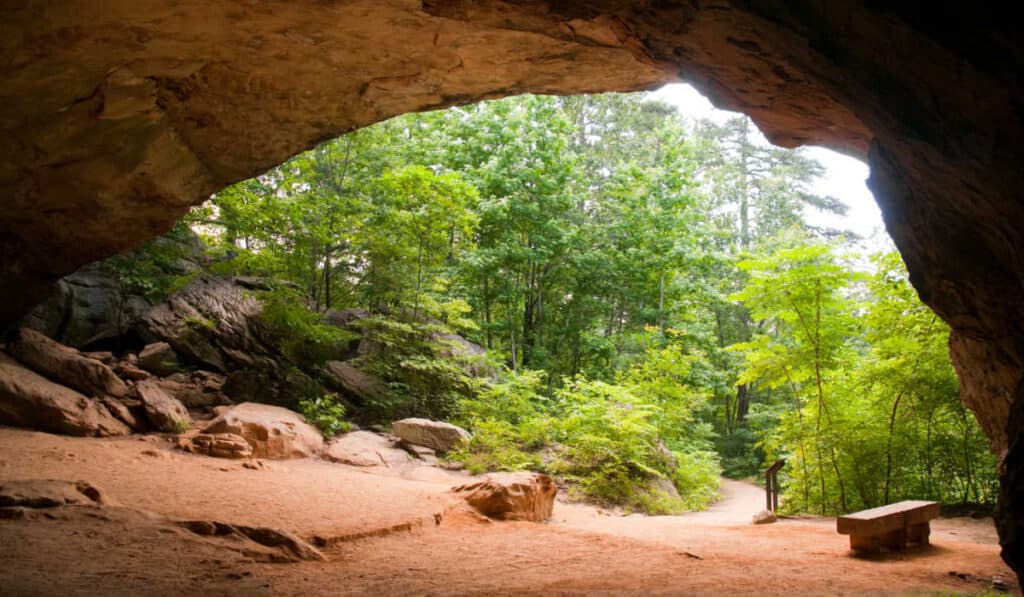
Apart from its historical significance, the Panhandle is also known for its geographical distinction. The region is part of the High Plains, which is characterized by flat, arid land. The Panhandle has a semi-arid climate, leading to periodic droughts and dust storms, such as during the infamous Dust Bowl of the 1930s.
The Oklahoma Panhandle also lies within Tornado Alley, a region in the central United States where tornadoes frequently occur. This location has a significant impact on Oklahoma’s overall climate, making it prone to severe weather events and natural disasters.
In conclusion, the geographical factors that contribute to Oklahoma’s shape can be primarily attributed to its latitude, the unique history of the Oklahoma Panhandle, and the region’s location within Tornado Alley and the High Plains. These factors have shaped not only the state’s physical appearance on a map but also its climate, history, and culture.
Societal Impact
Population and Economy
Oklahoma’s unique shape, including the Panhandle, has had a significant impact on its population and economy. The Panhandle was once known as No Man’s Land, a region characterized by lawlessness, outlaws, moonshiners, and brothels; it has since become an integral part of the state. Today, Oklahoma’s largest city is Oklahoma City, with a population of over 600,000.
In terms of economy, Oklahoma has a diverse range of industries, from agriculture and energy production to aerospace and biotechnology. Agriculture plays a vital role in the state, with key products, such as cattle and wheat, contributing significantly to their global exports. The state’s unique topography, both in the main part of Oklahoma and the Panhandle, has led to a varied and resilient economy.
Cultural Significance
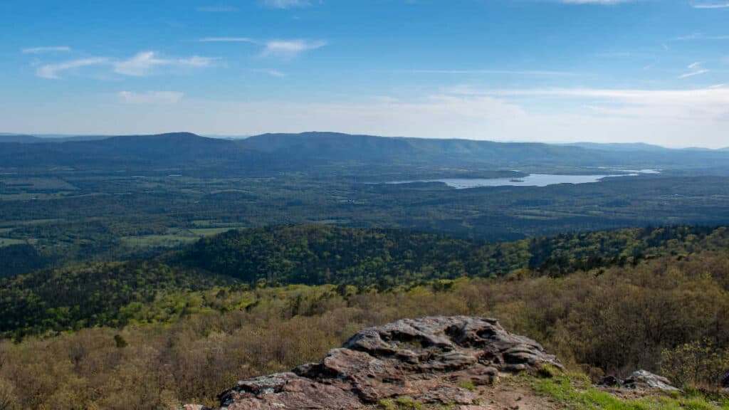
Oklahoma’s history and geography have shaped its rich cultural heritage. The state’s highest point, Black Mesa, is located in the Panhandle and is held in high regard by the community. Additionally, the Santa Fe Trail, a historically significant trade route connecting Missouri to Mexico, runs through the Oklahoma Panhandle, further enhancing the area’s historical significance.
The state has produced numerous well-known figures, such as Will Rogers and Garth Brooks, who have left their mark not only on Oklahoma but also on American culture as a whole. Oklahoma’s state motto, “Labor Omnia Vincit,” which translates to “Work Conquers All,” reflects the hardworking spirit of its people, who have persevered through adversity and shaped the state’s identity.
In conclusion, the shape of Oklahoma, including its unique Panhandle, has had a notable impact on its population, economy, and cultural significance. This identity helps define the state and its people, and continues to shape its evolving story.
5 Must-See Caves Near Branson Missouri (With Pics)

The Best Luxury Resorts in the Ozarks (There are Many!)

Does it Snow in Arkansas? (Yes, here’s where & how much…)
What States Are The Ozarks In? A Concise (and easy) Overview
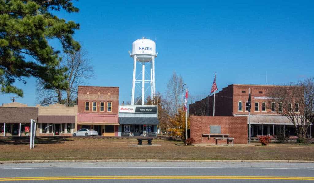
Hazen Arkansas Guide – Everything You Should Know