What States Are the Ozarks In?
Ask ten people where the Ozarks are, and you’ll probably get twelve answers. The truth is, the Ozarks stretch across four U.S. states—but not all Ozark regions are created equal. Some places are deeply Ozark in culture, terrain, and identity. Others just barely clip the edge of the map. If you’re planning a trip, doing some research, or just curious what counts as “Ozarks,” here’s a breakdown that cuts through the confusion.
Quick Answer: The Ozarks Are in These Four States
Missouri
Home to the largest portion of the Ozarks, including the Ozark Plateau and the popular Lake of the Ozarks region.
Arkansas
A close second in size, Arkansas is known for its wilder, more rugged parts of the Ozarks like the Boston Mountains and the Buffalo National River.
Oklahoma
Eastern Oklahoma includes the Cookson Hills, part of the western Ozark fringe.
Kansas
The Ozarks barely reach into southeastern Kansas—just enough to say it counts, but not enough to plan a vacation around.
Understanding the Ozarks Region
What Are the Ozarks?
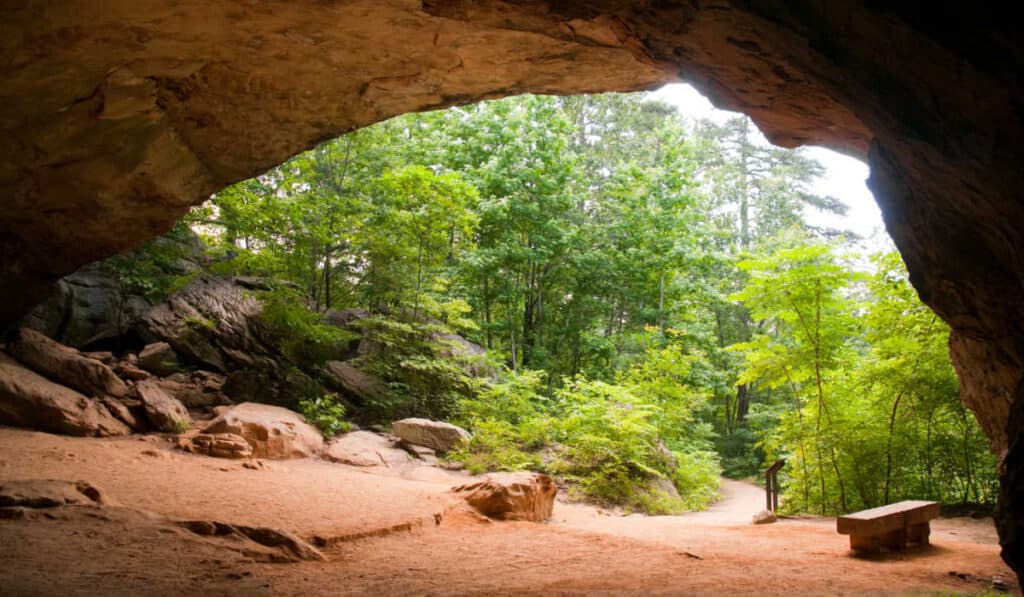
The Ozarks, also called the Ozark Mountains or Ozark Plateau, are a highland region made up of deeply dissected hills, forested ridges, caves, springs, and rivers. But it’s not just geology—the Ozarks are a cultural region, too. Locals often describe it as a blend of Appalachian grit and Midwestern friendliness, with a strong dose of independence.
Where the Ozarks Begin and End
The Ozark region spans roughly 47,000 square miles across southern Missouri, northern Arkansas, eastern Oklahoma, and a corner of southeastern Kansas. Its boundaries aren’t strictly drawn; instead, they’re defined by geological features and cultural ties.
Are the Ozarks Mountains or Hills?
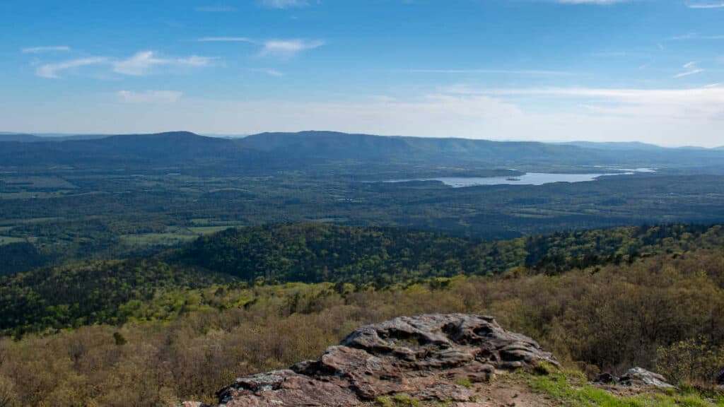
Technically, they’re a plateau that’s been eroded over millions of years into ridges and valleys. So while you won’t find jagged peaks, you will find winding drives, dramatic bluffs, and deeply forested terrain that feels plenty mountainous when you’re hiking it.
The Ozarks by State: A Closer Look
Missouri — The Heart of the Ozarks
If the Ozarks had a capital, Missouri would be it. The southern half of the state is almost entirely part of the Ozark Plateau. From the spring-fed rivers near Eminence to the entertainment strip in Branson, Missouri wears the Ozarks like a badge of honor.
You’ve probably heard of Lake of the Ozarks—thanks to a certain Netflix series—but there’s a lot more than boat parties. Float the Current River, hike in Mark Twain National Forest, or drive scenic Highway 19 through the heart of hill country.
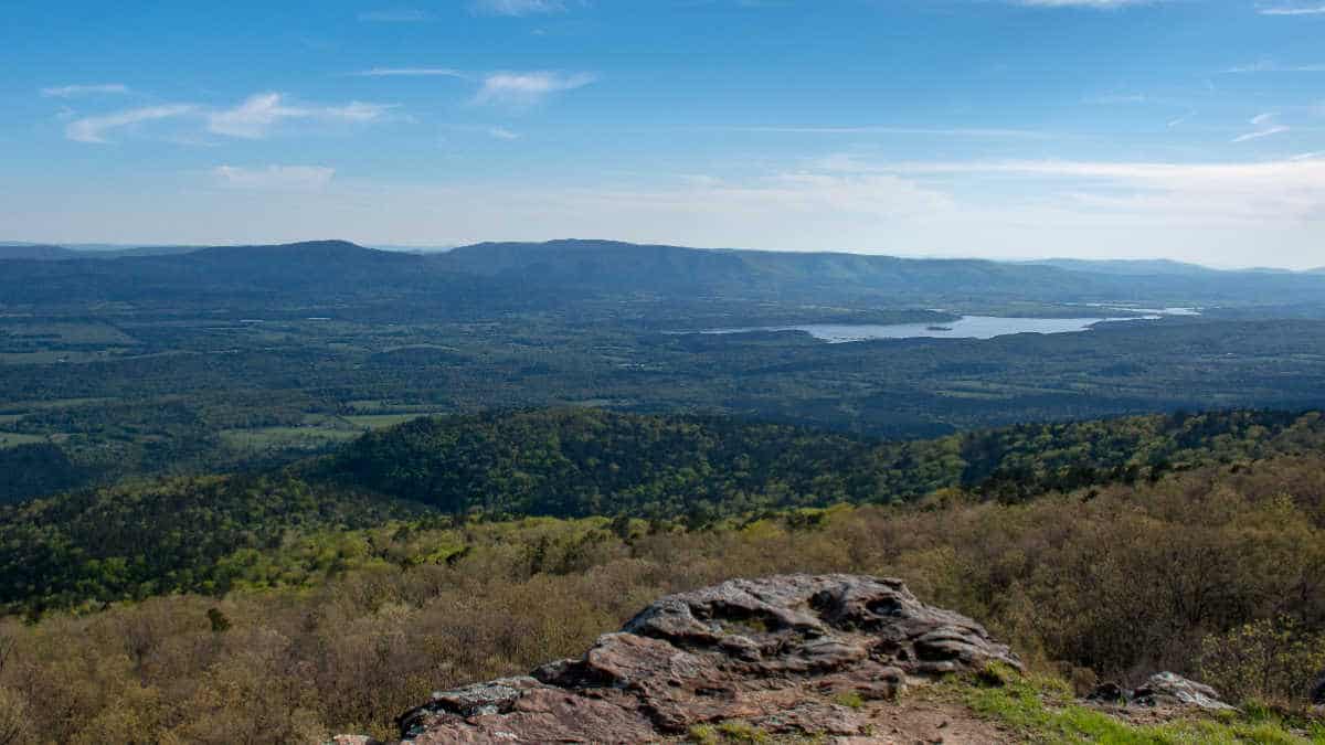
Arkansas — The Wild and Scenic South
Cross into northern Arkansas and the hills get steeper, the roads twistier, and the towns quieter. The Boston Mountains are the highest and most rugged part of the Ozarks, and the Buffalo National River is one of the last free-flowing rivers in the lower 48.
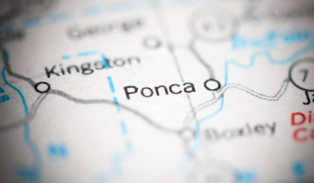
Eureka Springs is a quirky town built into the hillside. Jasper, Mountain View, and Ponca are small, proud mountain communities where you’re more likely to see elk than a stoplight.
Compared to Missouri, Arkansas feels wilder and more remote—but that’s part of the charm.
Oklahoma — The Western Edge
The Ozarks spill over into eastern Oklahoma in the form of the Cookson Hills. This is the least-developed part of the region, tucked into the corner of the state near Tahlequah and Lake Tenkiller.
It’s subtle, but the Ozark character is still there—rolling forested hills, rocky outcrops, and a strong Cherokee influence.
If you’re coming from the west, Oklahoma is your first taste of Ozark country.
Kansas — Just a Sliver
Southeastern Kansas barely brushes up against the Ozark Plateau. Places like Galena and Baxter Springs have Ozark-like features, but culturally and visually, you’ll start to lose the feeling pretty quickly.
It counts on a technicality—but if you’re looking for the full Ozarks experience, head a bit further south or east.
Do the Ozarks Feel the Same in Every State?
Not quite. Missouri’s Ozarks feel a bit more lived-in: more small towns, more tourism, and more development around lakes and rivers. Arkansas is more remote, especially once you get into the Boston Mountains. Oklahoma feels like a hidden corner of the region—quiet and largely unknown unless you already live nearby. Kansas? You might not even notice you were in the Ozarks if someone didn’t tell you.
What ties them all together is the mix of rugged landscapes and self-reliant communities. Whether it’s trout fishing in Missouri, backpacking in Arkansas, or driving backroads in Oklahoma, the Ozarks have a feel all their own.
Frequently Asked Questions
What is the Ozark Plateau?
It’s a broad uplifted region made mostly of limestone and sandstone that stretches across much of Missouri and Arkansas.
Why are they called the Ozarks?
The name likely comes from early French maps labeled “Aux Arcs,” short for “aux Arkansas,” meaning “of Arkansas.”
Is Branson in the Ozarks?
Yes. While some locals like to roll their eyes at Branson’s tourist traps, it’s squarely in the Ozark Mountains of southern Missouri.
Are the Ozarks dangerous?
Not inherently. Like any remote area, you should be prepared when hiking, floating, or camping—but overall, it’s a safe and welcoming region.
Final Thoughts: The Ozarks Aren’t Just a Place—They’re a Way of Life
Growing up near the Ozarks means you learn early how to read a gravel road, appreciate a good spring-fed swimming hole, and cook with more cast iron than stainless steel. The lines on the map might change depending on who you ask—but the feeling you get when you’re deep in the hills? That’s the Ozarks.
So whether you’re planning a weekend float trip, a family vacation to Branson, or a solo road trip through Arkansas backroads, you’ll be stepping into a region that’s more than just geography. It’s a culture, a landscape, and a pace of life all its own.
5 Must-See Caves Near Branson Missouri (With Pics)
The Best Luxury Resorts in the Ozarks (There are Many!)
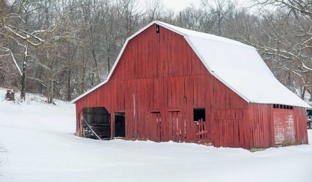
Does it Snow in Arkansas? (Yes, here’s where & how much…)
What States Are The Ozarks In? A Concise (and easy) Overview
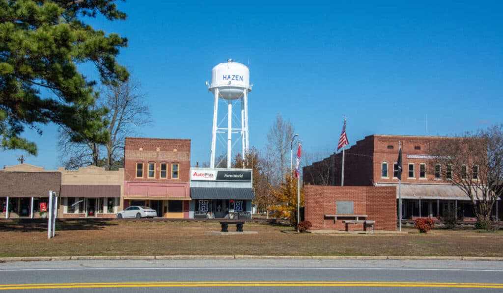
Hazen Arkansas Guide – Everything You Should Know