
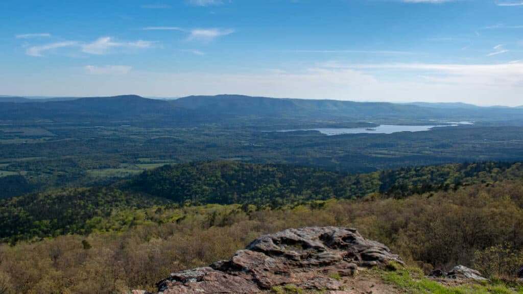
The Ozark Mountains are home to some of the most beautiful rivers in America.
From Buffalo National River and White River to Kings River and Big Piney Creek, there’s no shortage of amazing spots for travelers looking to explore the area.
For those wanting a more off-the-beaten-path experience, Spring River, Eleven Point River, and Current river offer plenty of opportunities for fishing or camping trips away from the hustle and bustle.
No matter what kind of adventure you’re seeking out in these majestic mountains, their rivers provide something truly special – an unforgettable escape into nature.
So why not make the next trip one that takes you along the banks of one (or several) of these stunning rivers? Get ready for an unforgettable journey through history with our detailed list featuring all major rivers located within The Ozarks.
Buffalo National River

Overview
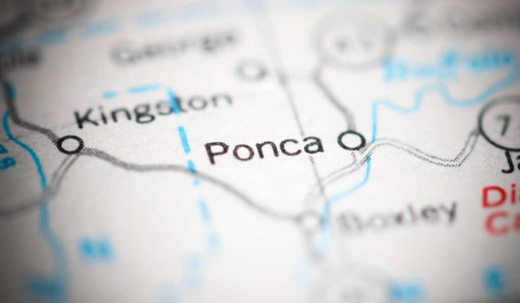
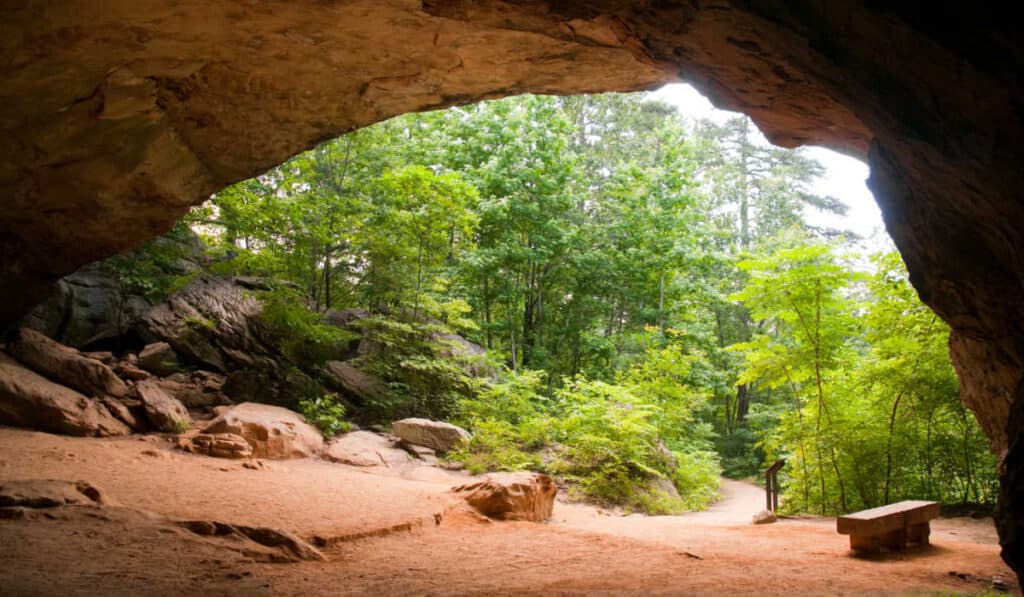
The Buffalo National River is a 135-mile-long river located in the Ozark Mountains of Arkansas. It is one of the few remaining undammed rivers in the lower 48 states and offers a variety of activities such as canoeing, kayaking, fishing, camping, and hiking. The river begins at Boxley Valley near Ponca and flows south through some of the most rugged terrains in the Ozarks before emptying into the White River near Gilbert. Along its course are numerous caves, bluffs, waterfalls, historic sites, and other natural features that make it an ideal destination for outdoor enthusiasts.
Location
The Buffalo National River lies within Newton County in northwest Arkansas. It is bordered by parts of Boone County to the north and Marion County to the east. To access this area from Little Rock or Fayetteville take Highway 7 North to Jasper then follow Highway 74 West until you reach Ponca which marks your entry point into this scenic region.
The Buffalo National River is a great place to explore and enjoy the beauty of the Ozarks. From fishing to camping, there are plenty of activities for everyone to enjoy. Next up we will be looking at White River.
White River

Overview
The White River is a major tributary of the Mississippi River that runs through northern Arkansas and southern Missouri. It begins in the Ozark Mountains near Eureka Springs, Arkansas, and flows south for over 500 miles before joining with the Mississippi River at St. Francis County, Arkansas. Along its journey, it passes through several cities including Fayetteville, AR; Branson, MO; and Batesville, AR.
Location
The White River has two main forks – North Fork and South Fork – which come together near Cotter, AR to form the main stem of the river. From there it continues on its way south until it reaches its destination at St. Francis County where it joins with the Mississippi River.
Along its route, you will find many campgrounds and other recreational areas such as Bull Shoals-White National Park in north central Arkansas which offers camping opportunities along both banks of the river as well as fishing access points throughout its length.
White River is an excellent destination for anyone looking to experience the beauty of the Ozark Mountains. From fishing and camping to canoeing and kayaking, there are plenty of activities for all kinds of travelers. Now let’s explore Kings River.
Kings River

Overview
The Kings River is a tributary of the White River located in northwest Arkansas. It is known for its crystal clear waters and offers great opportunities for swimming, fishing, canoeing, kayaking, and camping. The river begins near Eureka Springs and flows southward through the Ozark Mountains before joining with the White River near Beaver Lake. Along its course it passes through several small towns including Berryville, Green Forest, and Harrison.
Location
The Kings River can be accessed from many points along its course. There are numerous public access points as well as private campgrounds that offer boat ramps or other facilities to launch boats or canoes into the river. In addition to these access points, there are also several parks along the river’s banks where visitors can enjoy picnicking or just relaxing by the water’s edge while taking in beautiful views of nature all around them.
Campers will find plenty of spots along both sides of this stretch offering scenic views perfect for setting up camp after a long day on or in the water. Wildlife such as deer and bald eagles can be spotted while canoeing or kayaking downstream, making it an enjoyable experience for all. Anglers will also find plenty of bass, catfish, crappie, sunfish, and walleye waiting to be caught throughout much of this section of the river so don’t forget your rod and reel.
The Kings River is a beautiful and serene river that offers plenty of opportunities for outdoor activities. Its crystal-clear waters make it the perfect place to explore and experience nature, so be sure to check out Big Piney Creek next.
Big Piney Creek

Overview
Big Piney Creek is a tributary of the White River located in northwest Arkansas. It begins near Winslow and flows south for approximately 75 miles before emptying into the White River at Gilbert. Along its course, it passes through several small towns including West Fork, Pettigrew, and Huntsville. The creek features several waterfalls along its course as well as numerous swimming holes and rapids that make it an ideal destination for whitewater kayaking and canoeing.
Location
Big Piney Creek is located in northwest Arkansas between Fayetteville to the north and Fort Smith to the south. It runs from near Winslow down to Gilbert where it meets up with the White River. The entire length of the creek can be accessed by road via US Highway 71 which follows much of its course on either side of the riverbank.
Canoeing or kayaking are great ways to explore Big Piney Creek’s many twists and turns, while camping sites are available along much of its length providing convenient access points for overnight trips or extended stays in this scenic area of Arkansas’ Ozarks region.
Big Piney Creek is a beautiful, crystal-clear river with plenty of opportunities for fishing and kayaking. Now let’s take a look at the Spring River, another great spot for outdoor recreation in the Ozarks.
Spring River

Overview
The Spring River is a tributary of the Black River located in northeast Arkansas near Hardy. It flows for about 80 miles, beginning at Mammoth Springs and ending at its confluence with the Black River. Along its course, it passes through many towns including Ravenden Springs, Imboden, and Smithville. It features several rapids along its course which makes it an ideal spot for whitewater rafting as well as other recreational activities such as swimming, fishing, canoeing, kayaking, and camping.
Location
The Spring River is located in northeast Arkansas near Hardy and runs for about 80 miles from Mammoth Springs to the Black River. Its banks are lined with lush forests filled with wildlife making it a great destination for nature lovers who want to explore the Ozarks Mountains region of Arkansas.
Spring River is a beautiful and peaceful spot to explore the Ozarks, offering plenty of opportunities for fishing, camping, and hiking. The next heading will discuss Eleven Point River which offers its own unique attractions.
Eleven Point River

Overview
The Eleven Point River is a National Wild and Scenic River located in the Ozark Mountains of southern Missouri. It is known for its crystal-clear waters, abundant wildlife, and stunning scenery. The river flows through Mark Twain National Forest and has many access points along its length, making it an ideal destination for canoeing, kayaking, fishing, camping, hiking, and swimming.
Location
The Eleven Point River begins near Alton in Oregon County before flowing southward into Howell County where it joins the Spring River at Hardy.
Along its course are numerous access points including Greer Crossing Access Area near Alton; Thomasville Access Area; Turner Mill Access Area; Lick Creek Access Area; Grassy Knob Access Area near Couch; Pulltite Campground & Canoe Rental near Eminence; Two Rivers Canoe Rental near Doniphan, Bayou Ford Bridge Recreation Site on Highway 142 east of Doniphan, Alley Springs Recreation Site off Highway 106 west of Eminence, Montauk State Park off Highway 119 south of Salem, Akers Ferry Canoe Rental off Highway 19 north of Winona, Gladden Creek Recreation Site off Highway 19 north of Winona and Round Spring Recreational Use area just downstream from Akers Ferry Canoe Rental on the right bank side.
Hiking is another great way to experience this beautiful landscape, with several trailheads offering easy, moderate, and difficult looped out-and-back routes that traverse forests, hills, bluffs, meadows, creeks, rivers, streams, springs caves overlooks, and vistas. Swimming is allowed but should be done so with caution due to strong currents during high water levels.
The Eleven Point River is an ideal destination for those looking to enjoy the Ozarks’ natural beauty and partake in activities like fishing, kayaking, and canoeing. Next up, let’s take a look at the Current River.
Current River

Overview
The Current River is a tributary of the Black River located in southeast Missouri near Van Buren County Park State Park near Eminence MO. It flows through several counties, including Carter, Shannon, and Reynolds. The river is approximately 130 miles long and has an average width of about 50 feet. Its source is Montauk Spring in Dent County and it empties into the Black River at Big Springs.
Location
The Current River originates from Montauk Spring in Dent County, Missouri, and winds its way southward to eventually empty into the Black River at Big Springs. Along its course, it passes through many scenic areas such as Mark Twain National Forest, Ozark National Scenic Riverways, Echo Bluff State Park, Alley Mill Historic Site, and Round Spring Cave Natural Area.
FAQs in Relation to Rivers of the Ozarks
What river runs through the Ozarks?
It runs through Missouri and Arkansas, winding its way through forests and valleys of the Ozarks. The river’s source is in northern Arkansas near Fayetteville, and it flows southward for more than 700 miles before joining with the Mississippi River at Arkansas City, Arkansas. Along its journey, it passes by several popular tourist destinations such as Eureka Springs and Branson. Its waters provide a great opportunity for fishing, boating, swimming and other recreational activities that draw visitors from all over to enjoy the beauty of this natural wonderland.
What rivers are in Lake of the Ozarks?
The Lake of the Ozarks is a large reservoir located in central Missouri. It is fed by several rivers, including the Osage River, Niangua River, Grandglaize Creek, Gravois Creek, and Big Tavern Creek. The lake covers an area of 54,000 acres and has over 1,150 miles of shoreline. All these rivers combine to create one of the largest man-made lakes in the United States and provide plenty of opportunities for recreational activities such as fishing, boating, and swimming.
What rivers are in the Ozark Mountain region?
The Ozark Mountains region is home to a variety of rivers, including the White River, Black River, Current River, Eleven Point River, Buffalo National River, and Big Piney Creek. The White and Black Rivers are two of the most popular for fishing and canoeing due to their size and abundance of wildlife. The Current River is well known for its limestone bluffs and caves that provide excellent opportunities for exploration. The Eleven Point River has some of the best trout fishing in the state while Big Piney Creek offers more challenging rapids for experienced paddlers. Finally, the Buffalo National River provides an incredibly scenic backdrop with plenty of hiking trails along its banks.
Is Ozark a Lake or river?
The Ozark Mountains are a mountain range located in the southern United States. They span parts of Missouri, Arkansas, Oklahoma, and Kansas. The Ozarks are not a lake or river; they are an upland region with numerous rivers and streams flowing through them. Many of these rivers and streams provide excellent opportunities for fishing, canoeing, kayaking, and other recreational activities. Additionally, the area is home to many hiking trails that offer stunning views of the surrounding landscape. The Ozarks are a great destination for outdoor enthusiasts looking to explore and experience the beauty of nature.
Conclusion
Exploring the rivers of the Ozarks is a great way to experience all that this region has to offer. From fishing and camping along the Buffalo National River to rafting down the White River, or canoeing through Kings River – there are plenty of opportunities for outdoor adventure. Big Piney Creek, Spring River, Eleven Point River and Current River also provide exciting activities for those looking to explore this beautiful part of America. Whether you’re looking for an adrenaline rush or just want some peace and quiet in nature, these rivers of the Ozarks will not disappoint.
5 Must-See Caves Near Branson Missouri (With Pics)
The Best Luxury Resorts in the Ozarks (There are Many!)
Does it Snow in Arkansas? (Yes, here’s where & how much…)
What States Are The Ozarks In? A Concise (and easy) Overview
Hazen Arkansas Guide – Everything You Should Know